Pinpointing the Location.
Whale Cove takes shape.

-
![Hondias]()
Hondias Inset Sketch
-
![Dudley]()
Dudley Manuscript Map
-
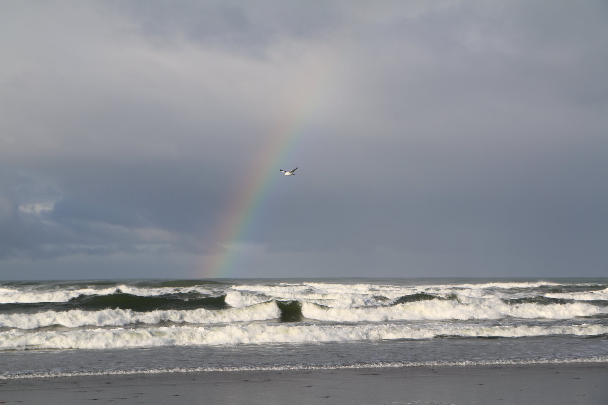
![Whale Cove Today]()
Whale Cove Today


To determine the exact location, we finally turn to the maps associated with Drake’s voyage. The most famous is the Hondius Broadside. It is undated but was drawn about 1589 by the Dutch cartographer, Jodocus Hondius, who was then living in London. It shows the path taken by Drake, and also that of Thomas Cavendish, who also sailed around the world, some eight years after Drake. As will be discussed later, Drake’s path has been altered to limit the extent of his northern movements along the American West Coast.
Around the edges of the Hondius Broadside are a number of insets, depicting incidents from Drake’s voyage. The one in the top left-hand corner is a perspective sketch of the New Albion anchorage. It is shown as an enclosed harbor with a spit across its mouth, projecting from the upper headland. Outside of the spit, and parallel to it, is an island with a distinctive shape, including an arrowhead shaped tip. This combination of spit and island has proven impossible to match with any inlet along the American west coast, though there have been some interesting attempts to do so. This is because the combination does not exist. The Hondius map has a secret that must be understood and unlocked before it can be matched with Drake’s true anchorage, and with the only other detailed representation of it.
This is found on a manuscript map made by Robert Dudley preparing a world atlas published in 1647. Dudley was the son of the Earl of Leicester, and was married to the sister of Thomas Cavendish, who almost certainly had privileged information passed on to him by Drake. Dudley therefore had two possible sources of information about Drake’s voyage. His representation is generally similar in shape to that of Hondius, but there is no separate island. Dudley also adds a series of depths, 3,4,5,6 which are in fathoms, and a river or stream running into the bay, though with the rim unbroken where it enters.